marc durand

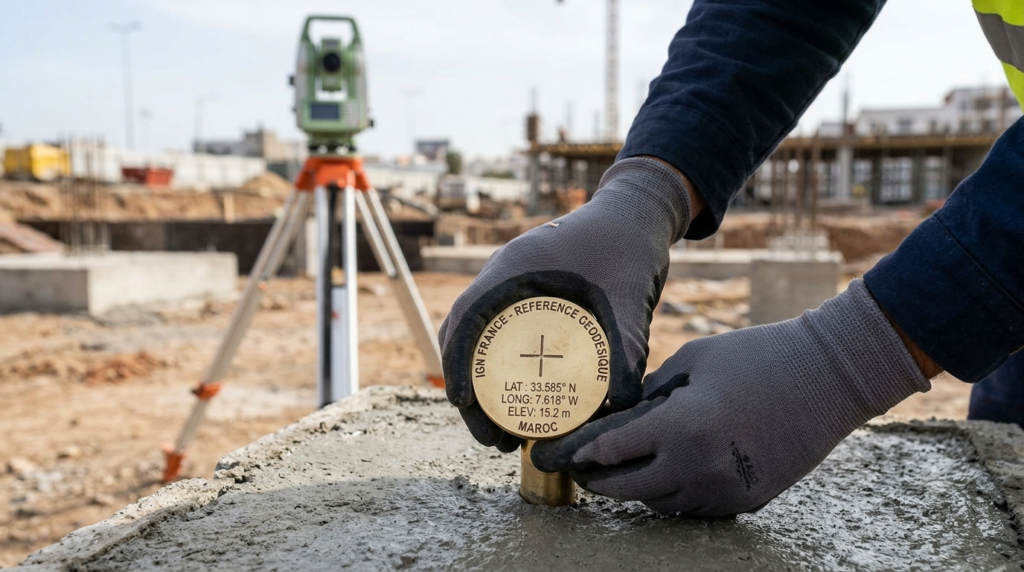
"Professional technical photography of surveyor's hands placing a precision geodetic benchmark brass marker into concrete foundation, IGN reference point visible with engraved coordinates, surveying tripod and total station in soft focus background, natural daylight, realistic field surveying photography, 16:9 ratio, no face visible, sharp focus on benchmark marker"

Réseaux de référence topographique : NGF, RGF93 et systèmes de coordonnées

C’est un sujet qui peut paraître théorique et réservé aux géomètres, et qui pourtant génère régulièrement des erreurs coûteuses sur les chantiers lorsqu’il est mal maîtrisé. Sur un chantier de construction d’une station de pompage en Loire-Atlantique, en 2020, j’ai assisté à une situation embarrassante qui illustre parfaitement les enjeux pratiques des systèmes de référence […]
"Professional technical photography of surveyor's hands placing a precision geodetic benchmark brass marker into concrete foundation, IGN reference point visible with engraved coordinates, surveying tripod and total station in soft focus background, natural daylight, realistic field surveying photography, 16:9 ratio, no face visible, sharp focus on benchmark marker"

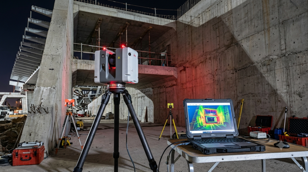
Scan 3D et relevé de l’existant : applications BTP

C’est une technologie qui m’a définitivement convaincu lors d’une mission de diagnostic sur un ouvrage industriel complexe en Rhône-Alpes, en 2021. Une entreprise de génie civil devait réaliser des travaux de réhabilitation sur une centrale hydroélectrique construite dans les années 1950, dont les plans d’origine avaient partiellement disparu et dont les modifications successives n’avaient pas

"Professional technical photography of surveyor's hands placing a precision geodetic benchmark brass marker into concrete foundation, IGN reference point visible with engraved coordinates, surveying tripod and total station in soft focus background, natural daylight, realistic field surveying photography, 16:9 ratio, no face visible, sharp focus on benchmark marker"

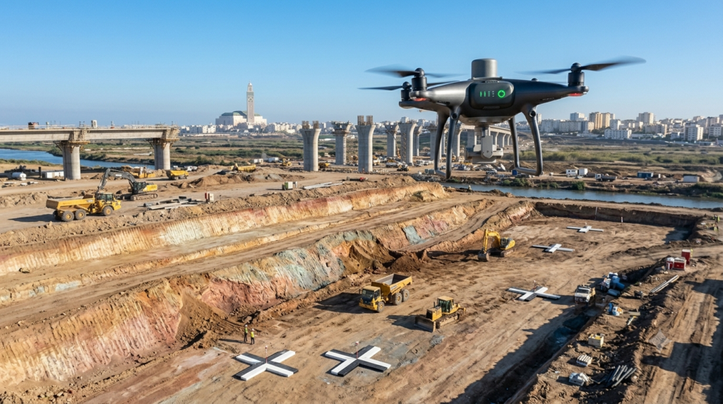
Drones de levé topographique : cartographie et inspection de chantier

C’est une transformation que j’ai observée s’accélérer considérablement ces cinq dernières années sur les chantiers d’infrastructure et de terrassement, au point que l’utilisation d’un drone pour un levé topographique de chantier est passée en quelques saisons du statut de curiosité technologique à celui de pratique courante dans les entreprises les plus compétitives. Sur un chantier

"Professional aerial photography drone DJI Phantom 4 RTK hovering above active earthmoving construction site, drone clearly visible in foreground against blue sky, large terraced excavation platform visible below showing fresh earth cut levels, surveying ground control point markers visible on ground, photorealistic construction survey photography, 16:9 ratio, natural daylight"

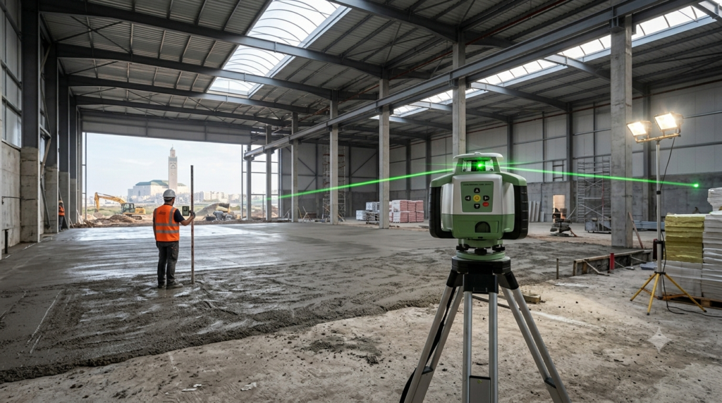
Niveaux laser sur chantier : types, précision et mise en œuvre

C’est un outil que j’ai vu passer du statut de gadget coûteux réservé aux géomètres à celui d’équipement quasi-universel présent sur quasiment tous les chantiers de bâtiment et de travaux publics, en l’espace d’une quinzaine d’années. Sur un chantier de construction d’un entrepôt logistique en Ain, en 2018, j’ai observé une scène qui illustre parfaitement

"Professional construction photography of rotating laser level on tripod inside large industrial warehouse under construction, visible laser beam sweeping across space, worker holding laser receiver rod checking floor level in background, concrete floor with fresh screed visible, dramatic industrial lighting mixed with natural daylight from skylights, photorealistic, 16:9 ratio, no face visible"

GPS et GNSS sur chantier : positionnement et traçabilité des travaux

C’est une technologie que j’ai vu transformer radicalement les pratiques de chantier en l’espace d’une décennie, au point qu’il devient difficile d’imaginer aujourd’hui comment les grandes opérations de terrassement ou d’infrastructure se pilotaient sans elle. Sur un chantier d’élargissement d’une voie rapide en Savoie, en 2021, j’accompagnais l’équipe de topographie d’une entreprise qui venait de

"Professional construction photography of GNSS RTK receiver mounted on survey pole, operator's hand holding pole vertically on active construction site, digital display showing real-time coordinates, earthmoving equipment and site infrastructure visible in background, clear blue sky with good satellite visibility implied, photorealistic field survey photography, 16:9 ratio, no face visible, sharp focus on receiver and display"

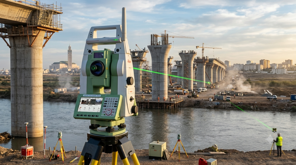
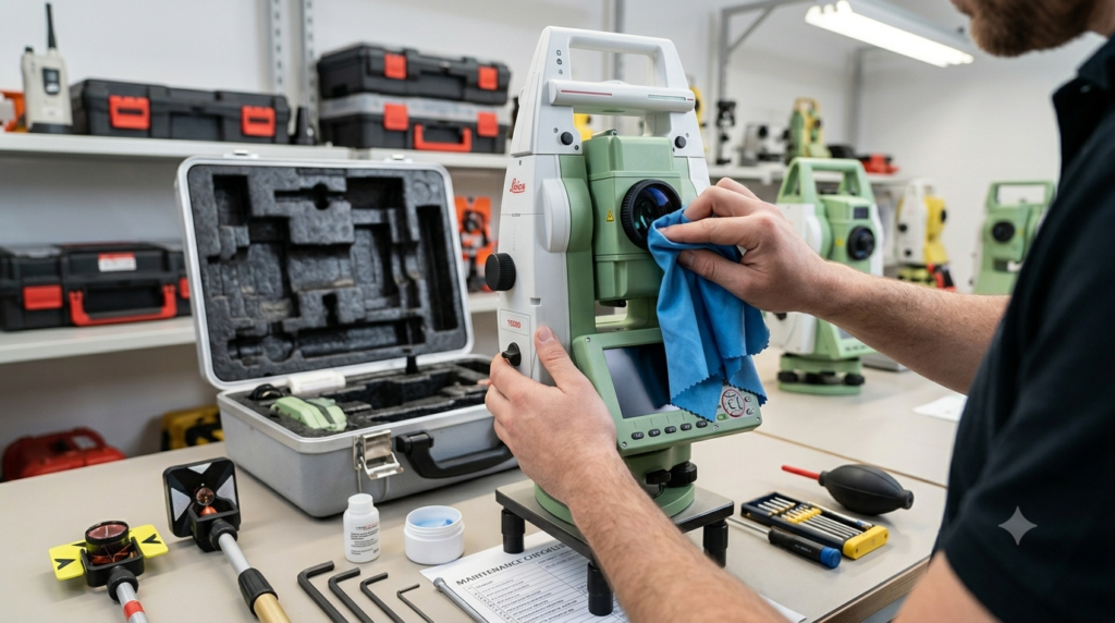
Stations totales : précision et efficacité en topographie de chantier

C’est un outil que j’ai appris à considérer comme l’un des plus transformateurs de ma pratique professionnelle, même si mes premières années de terrain m’avaient conduit à le percevoir comme un équipement réservé aux géomètres, trop complexe pour entrer dans le quotidien d’un chef de chantier. Un chantier de construction d’un viaduc en Ardèche, en